
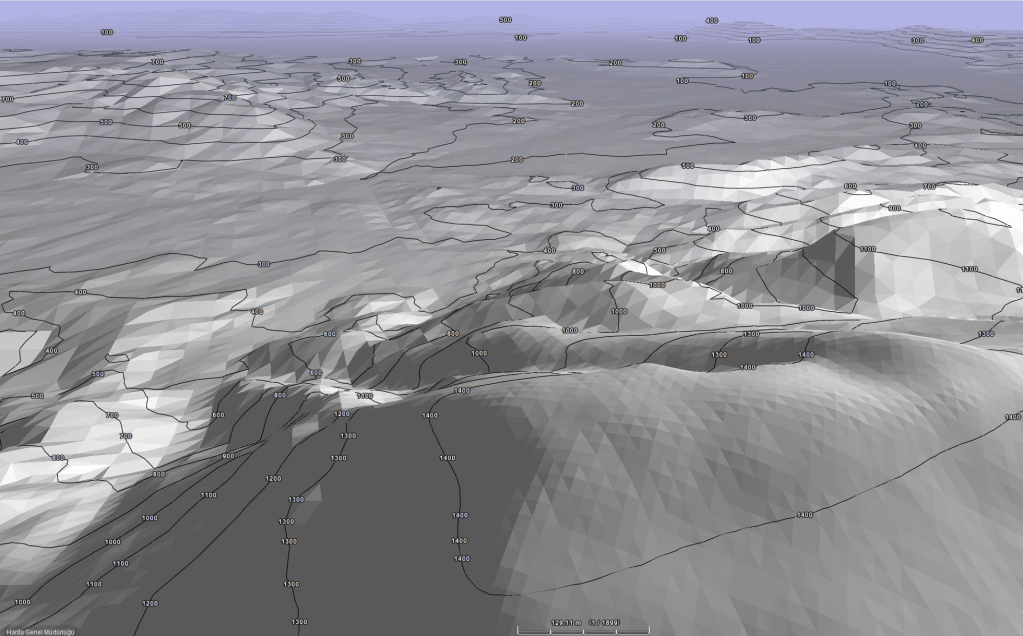
This thesis focuses on the spatial documentation of the locations and architectural features of tumuli, dating from approximately the 4th century BC to the 3rd century AD, within the micro-region encompassing Mount Nif (Olympos) and its surroundings—located within the administrative borders of the Kemalpaşa and Torbalı districts of İzmir province—by leveraging Geographic Information Systems (GIS) applications. The primary objective of this study is the locational identification and documentation of these tumuli using modern archaeoinformatics methods.
The datasets compiled through this documentation work were analyzed to address the archaeological and technical research questions that the thesis focuses on. Utilizing a Landscape Archaeology approach, the socio-environmental and cultural dynamics in relation to the tumuli during their period of utilization were explored. To provide a more objective and quantifiable basis for this interpretative framework, the ancient communication and route network within the study area was analyzed. To understand the spatial correlation between tumuli and the surrounding transportation network, spatial analyses were conducted, integrating ancient and historical sources with archaeological features (fortifications, settlements, workshops, and ancient road traces). Topographic, geological, hydrological, and paleoclimatological datasets were employed as environmental basemaps to enhance the resolution and consistency of the spatial analyses. Methods for extracting maximal archaeological proxies from the limited data on tumuli were investigated. Care was taken to formulate the methodology and workflows used in these methods in a way that allows them to be scaled up to studies for more extensive areas.
The analyses revealed that the tumulus locations in the research area exhibit significant spatial clustering closely connected to each other and to the surrounding road network. These tumuli reflect the socio-cultural and economic trajectories of the region and serve as indicators for delineating micro-territories.
Another aim of the study is to present an exemplary cultural heritage data management model that can support the planning processes of decision-making institutions. In order to preserve immovable cultural property such as tumuli, it is necessary not only to document them using modern techniques, but also to establish a data infrastructure that can seamlessly integrate this documented data with relevant institutional frameworks.
For the full text on Council of Higher Education (YÖK) Thesis Center Link -> Please Click


